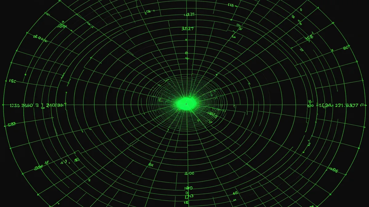
Radar cross-section is one of the most misused metrics in counter-UAS discussions. The number everyone cites — "modern commercial drones have RCS below 0.01 m²" — is technically accurate in isolation and practically misleading in almost every real deployment context. RCS is not a fixed property of a target. It's a function of the radar's frequency, the illumination angle, the target's attitude, and the target's surface materials. A DJI Mavic 3 has an RCS that varies by roughly two orders of magnitude depending on aspect angle and the radar band you're using to illuminate it.
That variability is the real problem — not the raw value. And it's why classifying drone types purely from radar returns is a harder problem than most people outside the sensing community appreciate.
What RCS Actually Tells You About a Drone
RCS is a measure of how effectively a target redirects incident radar energy back toward the receiver. It's expressed in square meters (m²) or in dBsm (decibels relative to one square meter). A human being typically presents about 1 m² to an X-band radar from the front. A commercial quadrotor presents somewhere between 0.001 m² and 0.05 m² depending on aspect and frequency — with the high end occurring when the flat plate geometry of the motor arms is facing the radar directly, and the low end when the drone is edge-on or when propellers are spinning (which scatters energy rather than focusing it).
For classification purposes, the implication is uncomfortable: the same airframe can look very different to the same radar at different moments. A drone banking through a turn will present a range of RCS values. More problematically, two different airframes may have nearly identical RCS profiles at certain aspect angles despite having completely different sizes and intent. A small hobby quadrotor on a straight inbound track at 0-degree azimuth may have a forward-facing RCS similar to a group-1 UAS configured for an ISR mission. At that point, radar signature alone does not distinguish them.
The Classification Problem in Practice
Most operational radar-based detection systems in the counter-UAS space use a combination of target RCS floor (to filter out birds and debris), Doppler signature (to filter out stationary clutter and confirm powered flight), and track kinematics (altitude, speed, turning rate) to generate a first-pass classification. This gets you to a coarse taxonomic level: "probably a multi-rotor UAS" versus "probably a fixed-wing" versus "probably a large bird."
The problem starts when you need to make harder distinctions:
- Group 1 vs. Group 2 UAS: The FAA/DoD group taxonomy (roughly, sub-20 lb vs. 21–55 lb) has implications for threat prioritization and response selection. Kinematic signatures overlap significantly between the groups at typical detection ranges.
- Commercial off-the-shelf vs. modified/weaponized: A DJI Phantom carrying a 200g payload has a different flight performance profile than an unloaded one, but the RCS difference is small and easily masked by flight path variation.
- Threat vs. authorized traffic: In airspace where legitimate UAS operations are ongoing (construction survey, infrastructure inspection, etc.), classification systems need to distinguish authorized from unauthorized based on more than the raw radar signature.
In all three cases, radar-only classification tops out at a confidence level that most military operators would describe as "suggestive but not decisive." That's not sufficient for kinetic engagement authorization.
Where EO/IR Fills the Gap
Electro-optical and infrared sensors offer a fundamentally different set of classification features. An EO camera at sufficient resolution can resolve airframe geometry — rotor count, wing configuration, payload attachment points — which provides classification features that are entirely orthogonal to RCS. An IR sensor adds thermal signature: motor heat, battery discharge patterns, and for downward-looking sensors, propeller wash thermal signatures in some atmospheric conditions.
The practical limitation of EO classification is range and atmospheric conditions. At 500 meters in good visibility, a mid-quality optical sensor with appropriate zoom can resolve enough of a Group 1 UAS to assign a high-confidence airframe class. At 500 meters in moderate haze or at night, that same sensor may be marginal for classification even if it can detect thermal presence. This creates an inverse correlation with range: the scenarios where you most need classification certainty (long-range engagement where you have time to act) are also the scenarios where EO resolution is most limited.
MWIR (mid-wave infrared) sensors change this calculation somewhat. The 3–5 micron band provides better atmospheric transmission than LWIR in many conditions, and motor heat signatures in the MWIR band are detectable at ranges where visual classification would be marginal. The tradeoff is cost: a cooled MWIR sensor capable of useful classification at 500+ meters is a significant fraction of the system cost budget, and for every sensor that size you're giving up coverage or redundancy somewhere else.
Sensor Fusion: Not Just "Add More Data"
The phrase "sensor fusion" is often used as if the difficulty is purely integration plumbing — get the data from both sensors into the same computational space and the hard work is done. That's not the experience we've had.
The actual hard problem in multi-modal fusion for drone classification is temporal and spatial registration. A phased-array radar returns track updates at (say) 20 Hz. An EO/IR camera running object detection inference returns classification proposals at (say) 15 Hz, with a latency that includes both exposure time and inference compute time that may vary by 20–40 ms depending on scene complexity. The track state from radar and the classification proposal from EO/IR are not timestamped to the same reference; they refer to slightly different moments in the target's trajectory.
Fusing these two data streams naively — treating the EO classification as if it applies to the current radar track position — introduces an association error that grows with target speed and the latency delta between sensors. At 25 m/s target speed with 80 ms total EO classification lag, the naive association error is 2 meters. That's larger than the target itself in top-down view, which means you may be fusing an EO classification proposal against a radar track that has already moved on.
The correct approach is to maintain a temporal history of both sensor streams and perform association on track-history segments rather than instantaneous states. This is more compute-intensive and requires careful state machine design to handle sensor gaps without losing track continuity, but it's the only way to produce a fusion result that is actually coherent in time.
Classification Confidence vs. Engagement Authorization
A classification result is not a binary: "drone, engage" or "not drone, don't engage." It's a probability distribution over a set of classes, generated by inference from multiple data streams with different confidence levels at a given moment in time. The output of a well-implemented fusion classifier might look like: 73% probability multi-rotor Group 1 UAS, 12% probability bird, 15% probability unknown — with a track quality flag indicating that radar track history is only 0.6 seconds old.
What does an engagement authorization system do with that? The threshold for kinetic engagement has to be set with awareness of both false-positive risk (engaging an authorized UAS or a bird) and false-negative risk (failing to engage a genuine threat). Setting that threshold is not a pure ML problem — it's a policy problem that depends on the protected asset, the airspace environment, and the rules of engagement the system is operating under.
We're not saying that high classification accuracy alone is sufficient for autonomous engagement authorization. What we are saying is that fused EO/IR + radar classification gives you a confidence level that single-modality radar classification simply cannot reach, and that difference matters enormously when you're designing the policy logic that sits on top of the classification output.
Frequency Band Selection and Its Effect on Small-Target RCS
Radar band choice is a first-order design decision for counter-UAS systems, and it's worth being explicit about the tradeoffs.
X-band (8–12 GHz) is the workhorse for most current counter-UAS radars. Wavelength (roughly 2.5–3.75 cm) provides good Doppler resolution for rotor modulation signatures, and antenna aperture is compact at useful detection ranges. The RCS floor for Group 1 UAS at X-band is approximately 0.001–0.01 m² — small but detectable with modern processing at ranges of 1–3 km in open terrain.
Ku-band (12–18 GHz) provides better angular resolution and enhanced rotor modulation signatures due to shorter wavelength, at the cost of greater atmospheric attenuation. For short-range, high-precision counter-UAS fire control (under 1 km), Ku-band is attractive because the micro-Doppler signatures of rotating rotors become more distinct. The attenuation penalty is manageable at those ranges.
Ka-band (27–40 GHz) gives even finer micro-Doppler resolution but suffers significant range limitations in adverse weather. We're skeptical of Ka-band as a primary counter-UAS detection band — in rain above roughly 10 mm/hour, Ka-band attenuation becomes operationally limiting.
The practical conclusion: no single radar band is optimal for both detection range and classification quality simultaneously. Systems that claim to do long-range detection and fine-grained classification in a single radar are either trading performance at one end or the other, or they're running multiple bands. At Askarl Defense, we've chosen to keep radar focused on detection and kinematics, and let EO/IR carry most of the classification weight — because that's where the information actually is at the engagement ranges we care about.
The Limits of What We Can Honestly Claim
Multi-modal fusion does not solve every classification problem. Low-observable UAS with non-metallic construction reduce RCS below practical detection thresholds for current-generation counter-UAS radars at most engagement ranges. Very small UAS (sub-250g) operating below 50 meters can be masked by ground clutter in ways that make reliable detection at engagement-relevant timescales genuinely difficult. And classification confidence will always degrade at range, in adverse weather, and against novel airframe configurations that weren't well-represented in training data.
The appropriate goal is not perfect classification. It's classification that is good enough to support engagement decisions with a known and acceptable false-positive rate, given the operational context. That's a more modest claim, but it's the honest one.